The World Meteorological Organization is now forecasting an 80% likelihood of an El Niño event developing between now and August.
—
A weather pattern fueled by warming ocean waters and typically associated with increased global temperatures and erratic weather patterns could arrive as early as this month, the World Meteorological Organization (WMO) has warned.
The UN agency is now forecasting an 80% likelihood of an El Niño event developing between now and August, with a 90% likelihood that it will persist until at least November.
The global climatic phenomenon, which occurs every two to seven years on average, is fueled by warming of sea surface temperatures in the central and eastern tropical Pacific Ocean. Temperatures in the tropical Pacific are currently exceeding 6C above average, according to the WMO.

When this oceanic warming takes place, the traditional east-to-west trade winds weaken or collapse entirely. This atmospheric shift traps a massive reservoir of warm water and air in the central and eastern Pacific, temporarily disrupting global weather patterns and raising global average temperatures.
The powerful shifts in Pacific winds and water temperatures can transform global weather patterns, increasing the likelihood of severe droughts in places like Australia and Southeast Asia and heavy floods in parts of the US and East Africa.
When this natural cycle collides with long-term, human-caused climate change, the combined effect also frequently pushes global temperatures to record-breaking highs.
The past two such events – in 2014-16 and 2023-24 – brought record heat around the world that fueled further global temperature increase. 2024 went down as the hottest year on record due to a combination of long-term human-caused climate change and a strong El Niño weather pattern. Now, its return increases the chances of another record warm year – likely to be 2027.
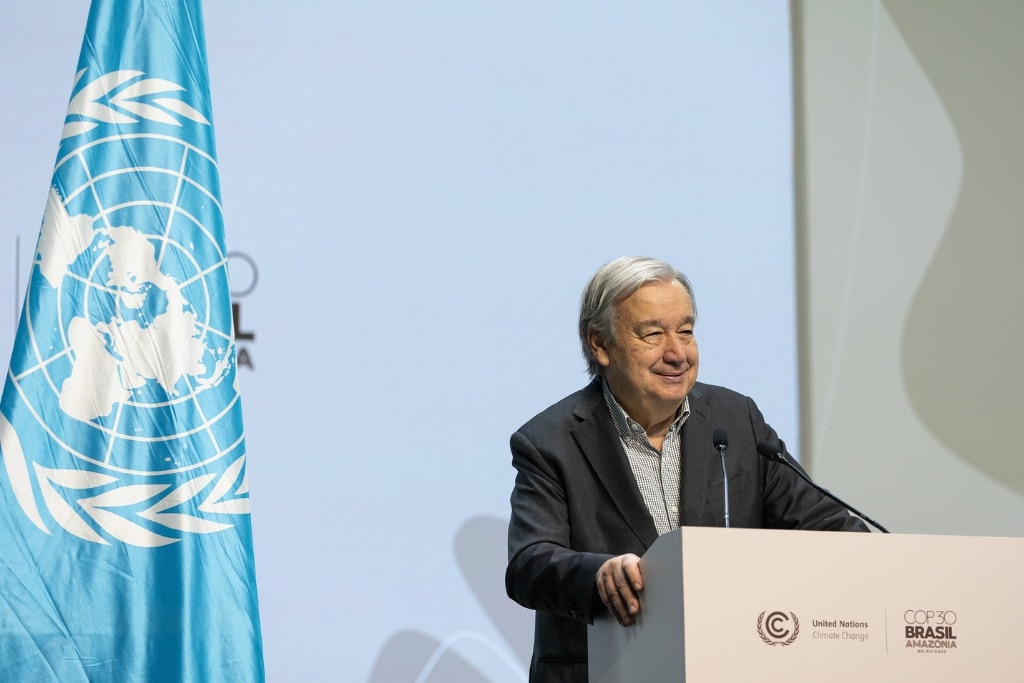
In a video statement published Tuesday, UN Secretary-General António Guterres urged the world to treat El Niño “as the urgent climate warning it is.”
“Impacts will hit even harder, travel even farther, and cross borders with devastating speed,” Guterres said as he called on countries to accelerate the shift toward clean energy sources, protect the most vulnerable, and deliver early warning systems for all.
Above-Average Hurricane Season in Eastern and Central Pacific
El Niño also influence the formation of hurricanes, which are fueled and made more destructive by higher sea surface temperatures. Sea surface temperatures have been rising 4.5 times faster since 2019 than they were at the end of the 1980s.
For the central and eastern Pacific, El Niño conditions means higher chances of above-average hurricane activity. In its yearly bulletin published last month, the National Oceanic and Atmospheric Administration (NOAA) put the likelihood of an above-average season at 70%. In the Atlantic, however, El Niño typically suppresses hurricane development. For this reason, NOAA forecasts a 55% chance of below-average Atlantic hurricane activity this year.
“Although El Niño’s impact in the Atlantic Basin can often suppress hurricane development, there is still uncertainty in how each season will unfold,” said NOAA’s National Weather Service Director Ken Graham.
Featured image: UN Women Asia and the Pacific/Flickr.
This story is funded by readers like you
Our non-profit newsroom provides climate coverage free of charge and advertising. Your one-off or monthly donations play a crucial role in supporting our operations, expanding our reach, and maintaining our editorial independence.
About EO | Mission Statement | Impact & Reach | Write for us